Location and Getting Around
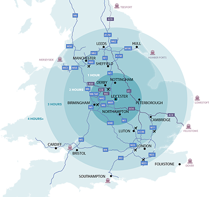
Leicestershire’s central location in the heart of the Midlands makes it highly accessible by road, rail and air.
Travelling by Air
The closest airports are East Midlands Airport (approximately 20 miles) and Birmingham Airport (approximately 37 miles). The frequent and direct Skylink bus runs from East Midlands Airport to Leicester every 20 minutes during the day and hourly at night: 24 hours a day, seven days a week. Car Hire at East Midlands Airport is also available. Birmingham airport is accessible by train via Birmingham New Street.
Travelling by Road
The M1 passes through Leicestershire, with Junctions 20-24 providing good access to the county (junctions 21 or 22 for Leicester city centre). The M69 and M6 also offer easy access from Birmingham, Wales and the south west. The A47 is the main route through the county to the east and the A6 runs north to south through the county.
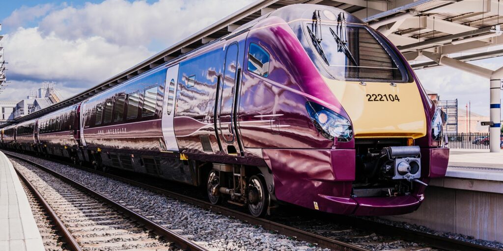
Travelling by Train
Leicester Railway Station is conveniently located on the edge of the city centre, offering excellent rail connections. The station is a key stop on the East Midlands Railway line from London St Pancras, with direct trains reaching the capital in as little as 66 minutes. Services also run north to major cities including Nottingham, Derby, and Sheffield. Additionally, CrossCountry services from Leicester provide connections to Birmingham New Street and eastward to Peterborough, Cambridge, and Stansted Airport.
Within Leicestershire county, towns such as Market Harborough, Loughborough, Melton Mowbray, and Hinckley all have stations with direct connections to Leicester.
For more information on timetables and fares you can look up your train journey on the National Rail website.
Travelling by Coach
National Express offer national coach services to Leicester. London to Leicester takes just under 3 hours. Ashby de la Zouch, Coalville, Kegworth, Market Harborough, Loughborough and East Midlands Airport are also served by National Express. Flixbus also operate in Leicester, offering servivces to London, Manchester, and many more. You can also use the Stagecoach plan your journey page, which has a useful location-specific search and planner.
Getting around
Choose How You Move have information on how to get around and plan your trip including public transport, park and ride services, cycle and walking routes. For information on bus services throughout the region visit traveline.info or call Traveline on +44 (0)871 200 22 33